Arts & Entertainment Community
Day Tripper | Exploring the Hood Canal
With Memorial Day in the rearview mirror, and Father’s Day on the horizon, what better day to make our long-planned trip to Brinnon than the longest day of the year. It seems like a great day to visit a Shrimpfest.
As I shared last month, I’ve been planning to visit Brinnon since I first learned of the annual event known over its 32-year history as Shrimpfest, then as Fjord Fest, and once again as Shrimpfest. Held for many years on Memorial Day weekend, this year it was reduced from a 3-day event to just one jam-packed day: Saturday, June 21.
The Emerald Town Alliance first sponsored the Brinnon Shrimpfest in 1993 with proceeds benefiting community nonprofits. Originally, it was a small gathering featuring a keg, shrimp, and belt sander races (yeah, that is a thing, but I don’t have the bandwidth to explain it. If you really want to know, check it out here).
Over the next 30 years, Shrimpfest expanded to include a beer garden, community dance, and Kid Zone. Local vendors and artists offered handmade jewelry, leather goods, metal art, fudge, jerky, oils, spices and photography.
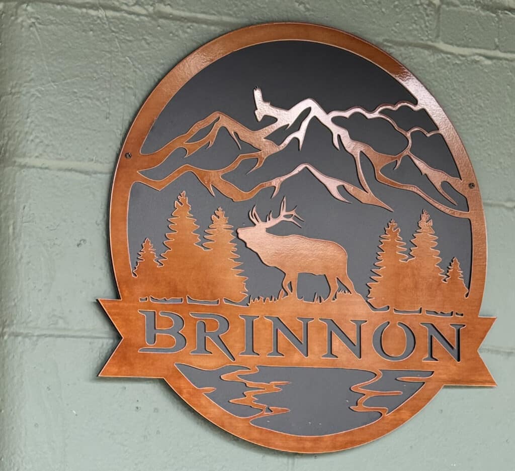
Photo by Mary Williams
Fjord Fest vs. Shrimp Festival
Then the pandemic intervened. Changes in the shrimping industry made it impossible to guarantee that shrimp would be available for the event. So the Emerald Town Alliance pivoted, rebranding the Brinnon Shrimp Festival as the Hood Canal Fjord Fest. That allowed them to expand from just shrimp to crab, oysters and even mushrooms.
They projected the rebranding would take several years to catch on, but time ran out after the 2024 festival. Last fall, the Alliance decided that they would have to discontinue planning for Fjord Fest 2025 and eliminated funding. In response, the Brinnon Fire Association stepped in and took over.
This year’s event will be only one day. The new organizers decided to move the event to June 21 and to go back to the traditional Shrimpfest name. Additional food such as seafood paella, shrimp kabobs, clam strips, calamari, tempura shrimp, garlic shrimp, and more will be added. If seafood isn’t your thing, you can enjoy classics like burgers or dogs. Make sure to save room for sweet treats such as pie, cotton candy, root beer floats, cupcakes, ice cream, and strawberry shortcake.
The star of the show, of course, is the Hood Canal spotted shrimp. If you want to take some home, 1-pound packages will be available for sale.
Should’ve called it Hood’s Fjord
Hopefully, I’ve convinced you that this is an event you should check out. Even if you choose not to go on the 21st, I hope you’ll visit Brinnon another time soon.
The Hood Canal is one of the most extraordinarily beautiful and peaceful places I’ve visited, but it’s not really a canal at all. It’s the only saltwater fjord in the continental United States, loaded with incredible natural scenery, framed by quaint little towns and a spattering of historical sites. And it’s right in our own backyard.
Some of these spots are no doubt worthy of a separate day trip, but until that happens, I want you to know about them so you can choose which of them you might want to explore on your own.
First, a bit about the canal itself. In May 1792, Captain George Vancouver arrived at a glacial fjord formation created during the Late Pleistocene era, approximately 13,000 years ago. After charting the inlet, Vancouver named it “Hood’s Channel” in honor of Admiral Lord Samuel Hood of the Royal Navy. But he wrote “Hood Canal” on his charts.
Hood Canal is long and narrow with an average width of 1.5 miles and a mean depth of 177 feet. It has about 212.9 miles of shoreline and 16.4 square miles of tideland.
If you think of the Hood Canal as a great big oblong pool, Brinnon is kitty-corner from Gig Harbor. Whether we travel around the south end of the canal and approach via Highway 101 through Union and Hoodsport or take Highway 3 and cross the Hood Canal bridge before turning south toward Quilcene, Brinnon is approximately 75 miles away.
If you take the latter route, as I did, you’ll be traveling on a divided highway most of the way but will have to deal with the bridge. Most of the time, that’s not a problem and it’s a beautiful route. If, like me, you forget to check the website to learn of planned openings, you may end up spending up to an hour sitting in a queue.
Pearl of the Peninsula
After you turn left and cross the bridge (finally!) you’ll be on Highway 104. Watch for the Quilicene-Brinnon cutoff about 10 miles after you’ve crossed the bridge. Eight miles up the road, you’ll find yourself at Highway 101 and Quilcene.
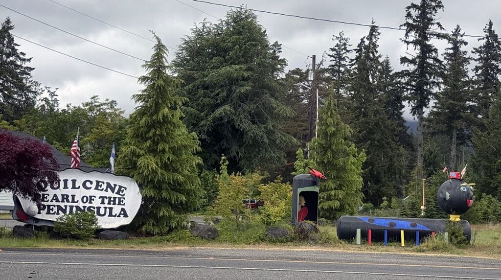
The entrance to Quilcene, the “pearl of the Peninsula.” Photo by Mary Williams
The residents of the community selected the slogan Pearl of the Peninsula in an election. The primary reason is thought to be because Quilcene is home to one of the largest oyster hatcheries in the region.
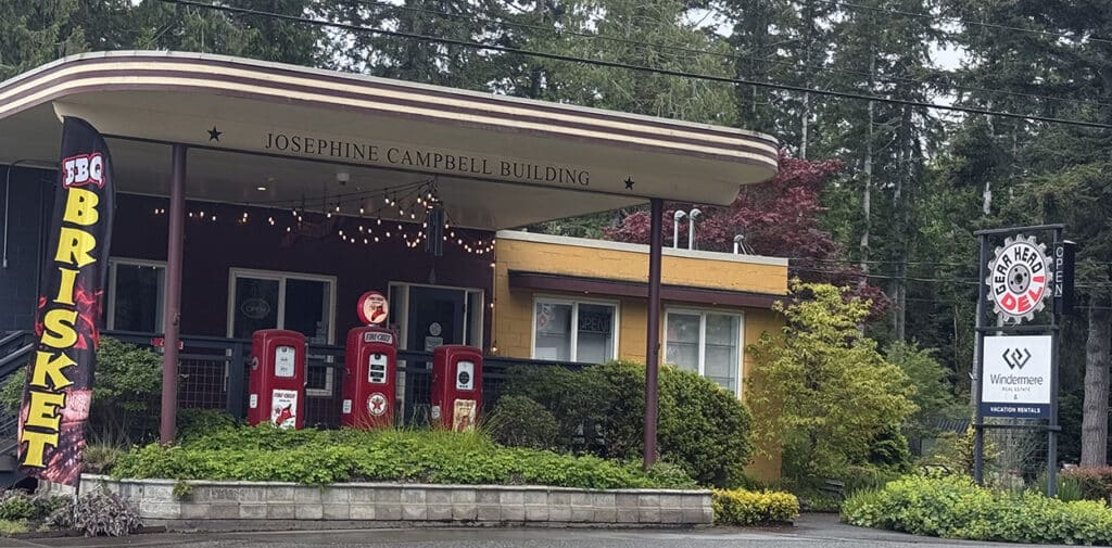
The Josephine Campbell Building in Quilcene. Photo by Mary Williams
As you drive through town, note the Josephine Campbell Building with its three vintage gas pumps out front. The building is home to the Gear Head Deli.
Climbing Mount Walker
Approximately 8.2 miles south of Quilcene is the turnoff for Mt. Walker Viewpoint Road. Mt. Walker is the only peak facing Puget Sound that has a road to its summit. A quarter of a mile up the road is the Mt. Walker trailhead. A brochure published by the North Hood Canal Chamber of Commerce promised that a drive to the top of Mt. Walker would provide a magnificent view of the Canal and Mt. Rainier.
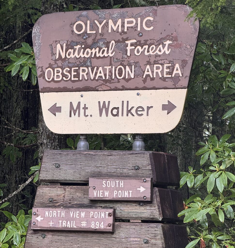
This sign marks the turnoff for the Mount Walker view point. Photo by Mary Williams
So, because it was early in the day, and I like to think of myself as adventurous, I decided to try it. Ignoring all the signs warning of a 4-mile one-lane rural rocky road (more like a path than a road), I opted for the North View Point route and set out for the top.
About a third of the way up, I came across an expansive view of the Quilcene Valley. Fortunately, I was the only car on the road, so I managed to stop and get a picture.
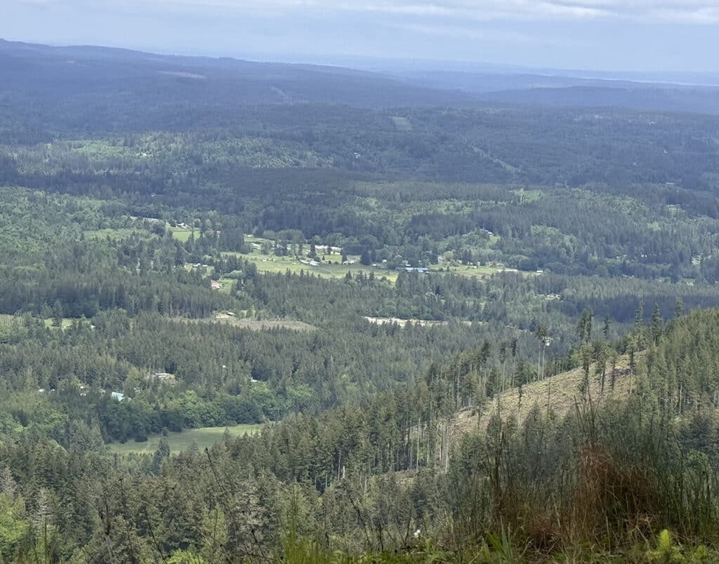
The view of the Quilcene Valley from the Mount Walker view point road. Photo by Mary Williams
Then I set off again. With a top speed of about 10 miles an hour, it was a long but beautiful drive. I wanted to admire the scenery, but I had to pay attention to the road to keep my little car out of potholes about half its size. Finally, I got to the top, only to find that at 2,804 feet, despite being a beautiful sunny day at the base, the top of the mountain was shrouded in fog.
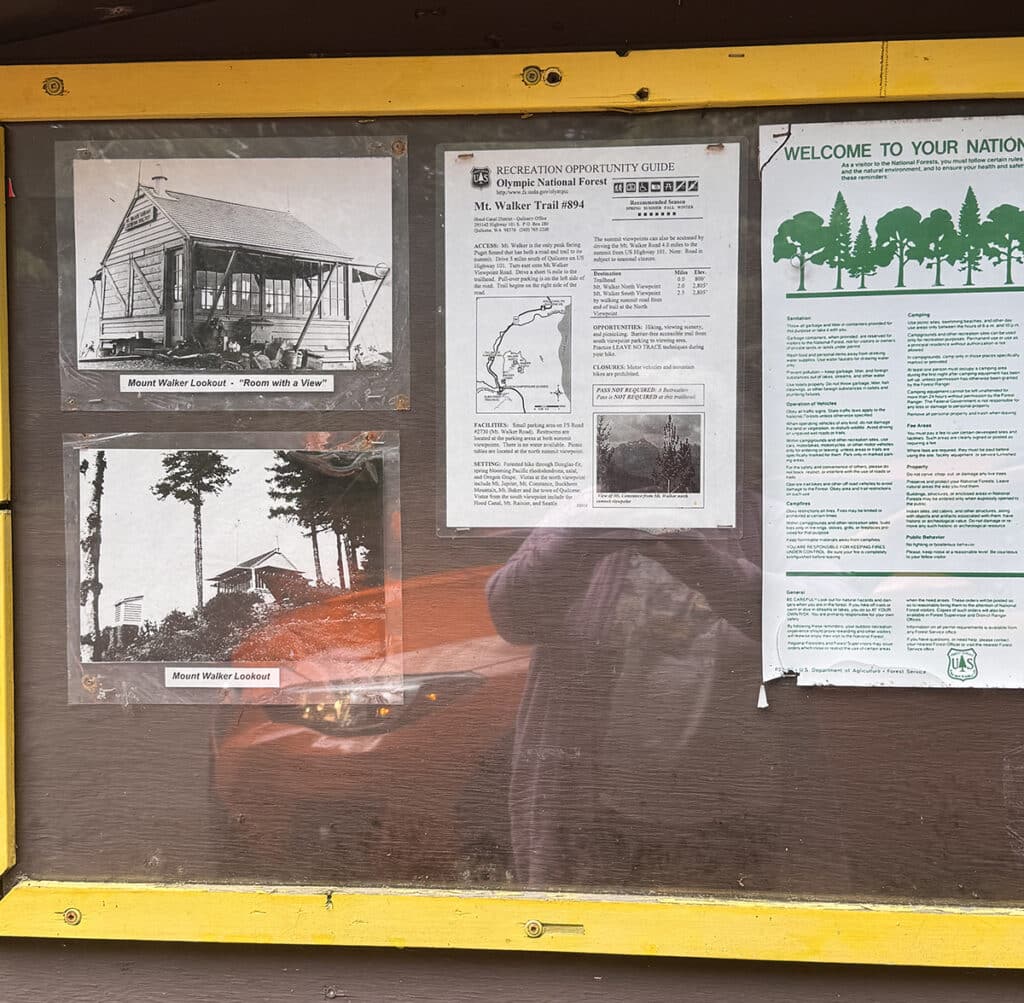
A sign at the top of the road.
As you enter the final approach to the top, there are two viewpoints both with short trails to areas with interpretive signs. Those signs were as much as I was going to see.
I did learn my lesson. I had planned to make several side-trips over the course of the day, but this was destined to be the only one on this trip. I’ll tell you about other options for side-trips as we come to them, but for me, this was my one and only venture off the beaten path.
As we follow the route south, we will see signs directing us to Dosewallips State Park, Twanoh State Park, Triton Cove State Park and Octopus Hole Conservation Area. I’d love to explore each of these areas further, but it won’t happen on this trip.
Optional Side-Trip Number 1
Situated just north of Brinnon, Rocky Brook Falls is reputed to be one of the best easy-to-reach waterfalls on the Olympic Peninsula. This beautiful 229-foot-tall falls runs year-round. To get there, turn right on the Dosewallips Road just north of Brinnon. Drive 3 miles west. The easy two-tenths of a mile walk begins on the right after crossing Rocky Brook Bridge.
Seal Rock Campground
Located in the same area is the Seal Rock Campground with its two interpretive trails. With beautiful views of Hood Canal and the mountains to the southeast, Seal Rock Campground is one of the few national forest campgrounds located on salt water with harvestable oysters that is open to the public. Its 41 tent/RV sites are spaced among the trees with several along the water. It has three paved accessible units and facilities that accommodate wheelchairs. Amenities include restrooms with fresh piped water, flush toilets, and electricity. Tables and fire pits are at each site.
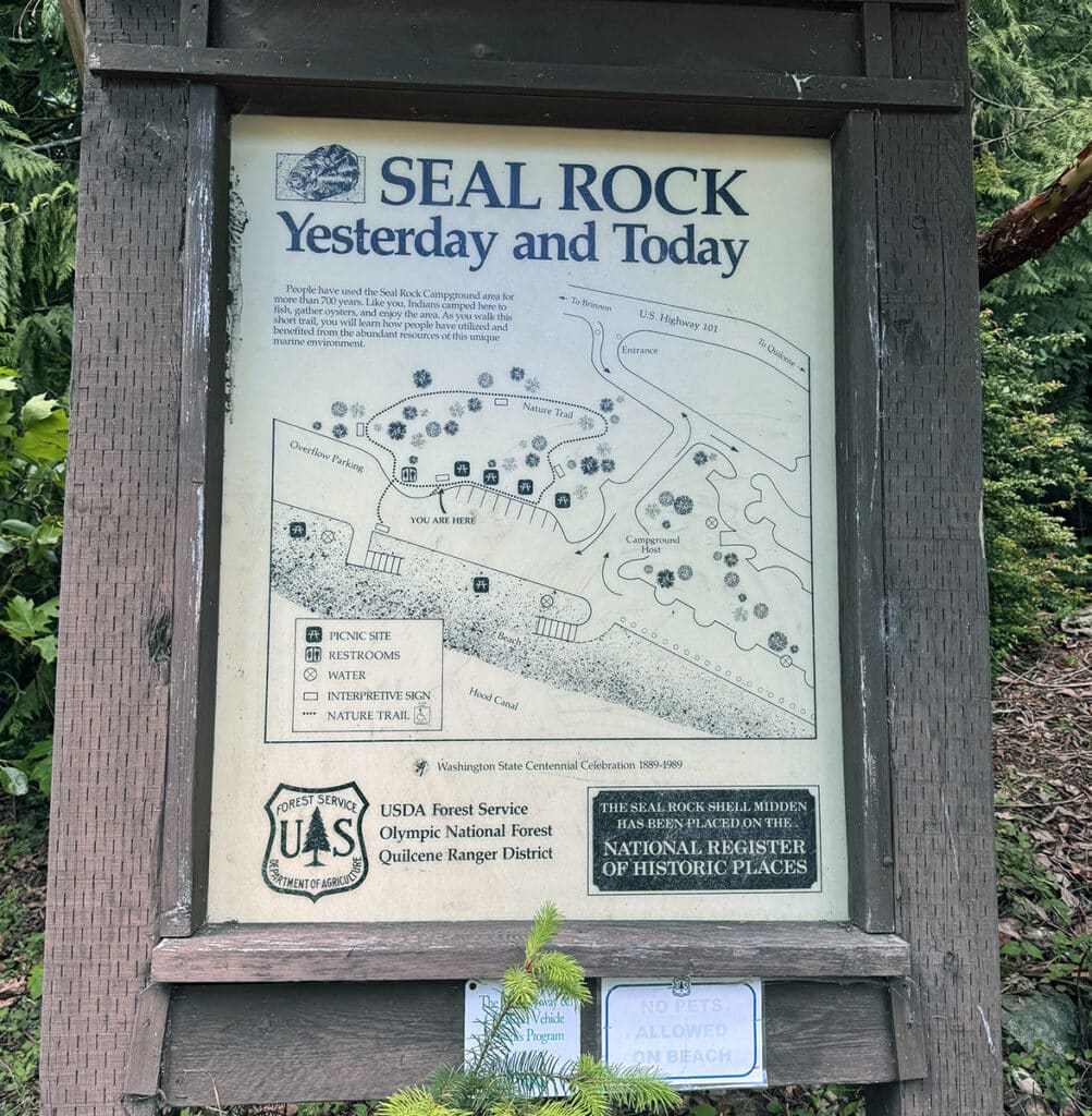
Seal Rock Campground. Photo by Mary Williams
Next stop: Brinnon
As you come into Brinnon, one of the first places you’ll see is Whitney Botanical Gardens and Nursery. Right now, the star of the garden is the rhododendron. Some are 80 years old, while others are just getting started. There are also magnolias, maples, camellias, conifers, and a variety of perennials, bulbs, and ornamental trees. This time of year, many annuals can be purchased that will brighten your own summer and fall gardens.
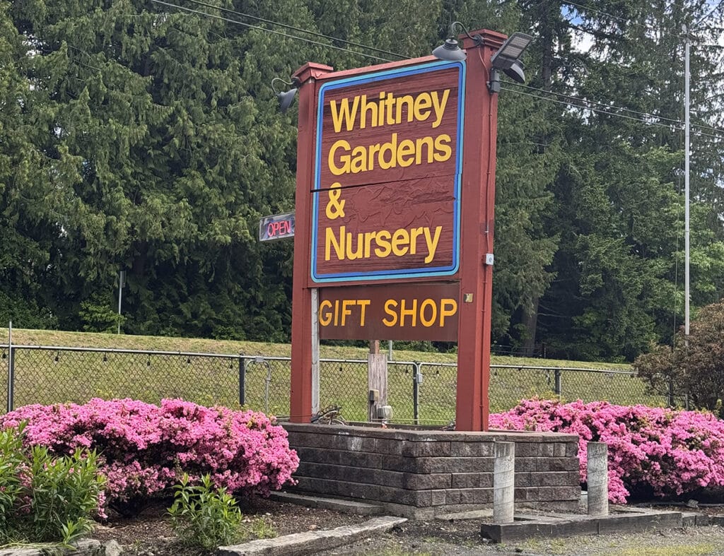
Whitney Gardens. Photo by Mary Williams
The garden provides paths with benches for rest and reflection as you move through a beautiful 7-acre Washington Botanical Garden. You can stop for a few minutes or take a couple of hours to rest and relax while enjoying the garden. There is free wi-fi but my suggestion is that you leave it turned off and enjoy some tranquility and peace and quiet. If you have to bring something with you, make it a latte and a book. Oh, and $1 for admission, which is on the honor system.
Brinnon has the requisite General Store and several other cafes and shops. Across the street there is an information center that has a comprehensive array of brochures and pamphlets providing guides to the many regional activities.
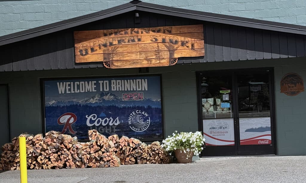
The Brinnon General Store. Photo by Mary Williams
Brinnon is at the mouth of the Dosewallips River, where it empties into the Canal, creating beautiful oyster-laden beaches. It is home to Dosewallips State Park, where the river deposits large quantities of silt, sand and gravel. This habitat is important for shellfish, including clams, oysters and geoducks.
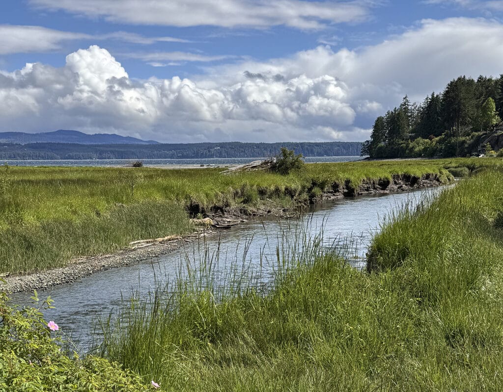
The Dosewalips River estuary in Dosewalips State Park. Photo by Mary Williams
I remember the first time we visited the Hood Canal, approximately 40 years ago. We camped at the park, which was quite a bit more rustic then. After an evening of clam digging and oyster harvesting, we sat around a campfire drinking coffee (or something) and shucking oysters, eating them raw as quickly as they were opened. That couldn’t happen today because this sign is posted prominently all along the canal.
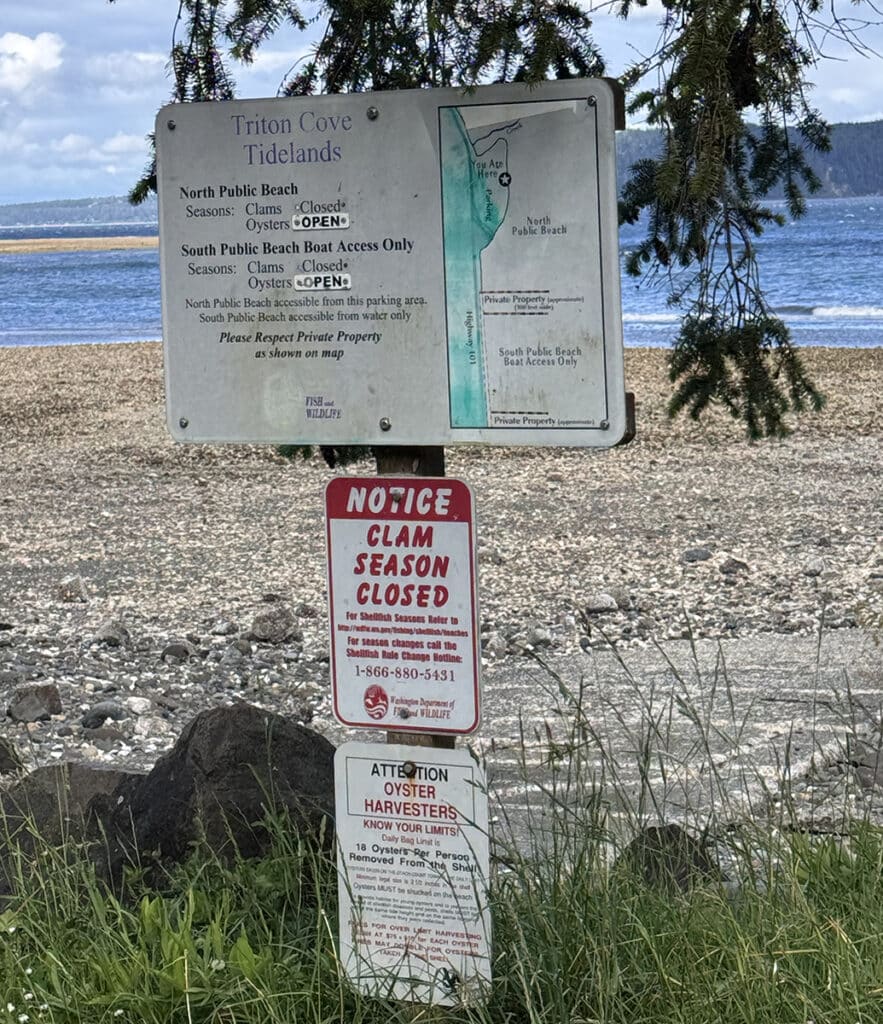
Photo by Mary Williams
The next stop down the road is the Duckabush public tidelands, on Highway 101 between mile markers 310 and 311, about 3.9 miles south of Brinnon. Duckabush was formerly a commercial oyster beach and was reputedly a superb place to harvest oysters. There are some native littleneck clams at Duckabush, but they are not as abundant as Manila clams. Cockles and horse clams are found in the low intertidal zone in sand and mud. There is also good digging for geoduck when the tides are right.
Sadly, all that doesn’t really matter. Water quality for this beach does not meet public health standards for recreational shellfish harvesting and its health status is listed as “closed by pollution.” The shellfish are not safe to eat.
The area is also subject to seasonal closures due to over-harvesting. The clam, mussel and oyster season runs from Nov. 1 through April 30. Sometime in the spring, the WDFW will determine whether conditions are safe enough to allow conditional harvesting when the season opens up again in November.
Optional sidetrip No. 2: Duckabush Recreation Area
The Duckabush area is a hiker’s dream. If you like to hike, whether you prefer short 1- or 2-mile trips or much longer ones, you should check this place out. Many other people have written much about what’s to be found here. I don’t need to recreate the wheel, so I recommend you start gathering information here.
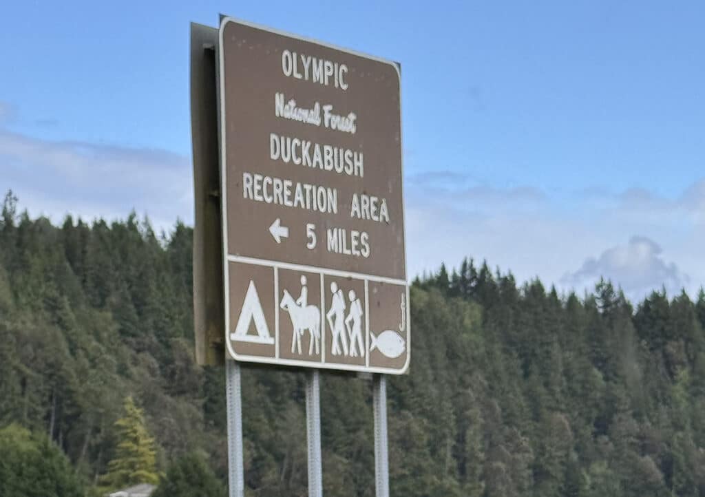
Photo by Mary Williams
Optional side trip No. 3: Hamma Hamma waterfalls
If you have a particular affinity for waterfalls, you may want to take a more extensive detour and visit the Hamma Hamma region.
According to Wikipedia, the Hamma Hamma River rises near Mt. Washington and drains to the Hood Canal. The name Hamma Hamma comes from a Twana village once located at the river’s mouth and called Hab’hab, referring to a reed that grows along the river’s banks.
Once again, I’m going to refer you to a comprehensive website for more information.
Lilliwaup
Next up, about 11 miles down the highway is Lilliwaup, which gets its name from the Twana word for cove or inlet. Lilliwaup has the traditional general store and is also home to an old abandoned hotel that would give the Bates Motel a run for its money.
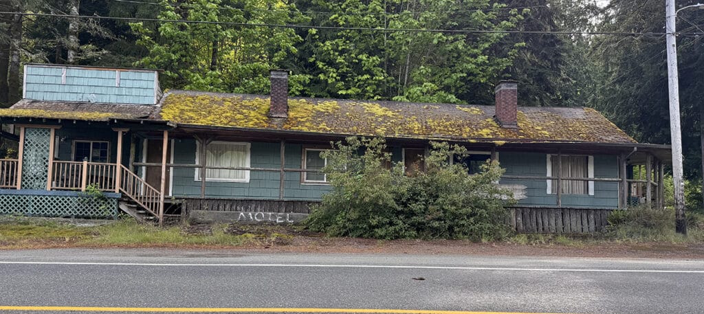
An abandoned hotel in Liliwaup. Photo by Mary Williams
In the 1890s, an expedition described Lilliwaup as “a town with one house.” By later that year, more than 30 families had moved in. Soon after, there was a store and two hotels. When the townsite company went bankrupt a short time later, most people moved away. Lilliwaup is doing a bit better than that now. According to the 2020 census, there were 586 people in 309 households. The average age was just over 61 years old.
Optional side trip No. 4: Sund Rock
About halfway between Lilliwaup and Hoodsport, you’ll pass an area that’s been identified as one of the top scuba diving areas in the region. Sund Rock is well known for the variety of sea life there including eels and anemones.
In this area, the Hood Canal itself is well known as a conservation area. That means that you can look but not touch, appreciate but not take. That’s why the marine life in this area is in such pristine condition. Nearby you can find plumose anemones, wolf eels and giant pacific octopus. Scuba enthusiasts from all over the world consider this area a diving mecca.
Hoodsport
Hoodsport was settled by ship captain G. K. Robbins, who logged and farmed this area’s wealth of natural resources. Today, his descendants own and operate the Hama Hama Oyster Company, which, curiously enough, is in Lilliwaup.
There is so much to see and do in the vicinity of Hoodsport that I suspect it warrants its own day trip. In fact, I’m sure of it. For now, I’ll detail a couple of places we’ll be sure to explore when we return.
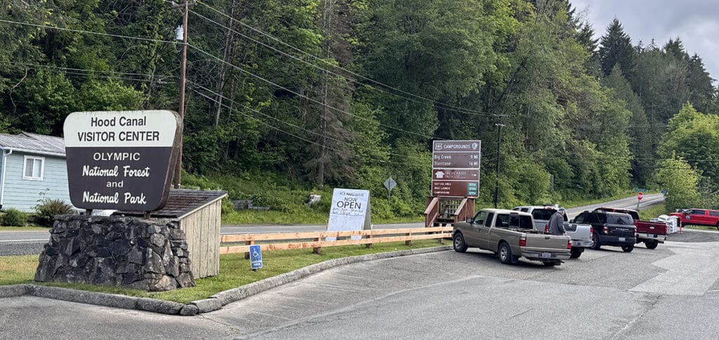
Photo by Mary Williams
Optional side trip No. 5: Big Creek
Primarily a forested state-run campsite, Big Creek contains 46 camping sites. Trail heads and fishing areas are abundant. The hiking loop around Big Creek crosses over several bridges and leads to hidden waterfalls. The trail starts at Big Creek Campground and is maintained by a volunteer crew. One of the highlights of this hike is its bridges.
Optional side trip No. 6: Staircase
Follow the road from Hoodsport to the parking lot for Staircase. Walk from the parking area past the ranger station and cross the North Fork Skokomish using a solid bridge. Various hikes are available.
Optional side trip No. 7: Lake Cushman
An entire day could be spent investigating the Lake Cushman region, but we’ll check it out more completely during our “Return to Hoodsport” episode. Getting to the area is approximately a 13-mile detour from Highway 101. If you’re interested in visiting before we return, just ask the Google. There is a whole lot of information available.
Once you’re back on Highway 101, there’s one more thing to see before we leave Hoodsport.
Tacoma City Light built, owns and operates the Cushman Hydroelectric Project, which consists of two dams on the North Fork of the Skokomish River. Kokanee Lake was formed when Cushman No. 1 was completed in 1930. For a much more in-depth explanation than I can provide, see Ed Frederich’s very recent story in Gig Harbor Now. Ed will tell you everything you need to know. I just think it looks cool!
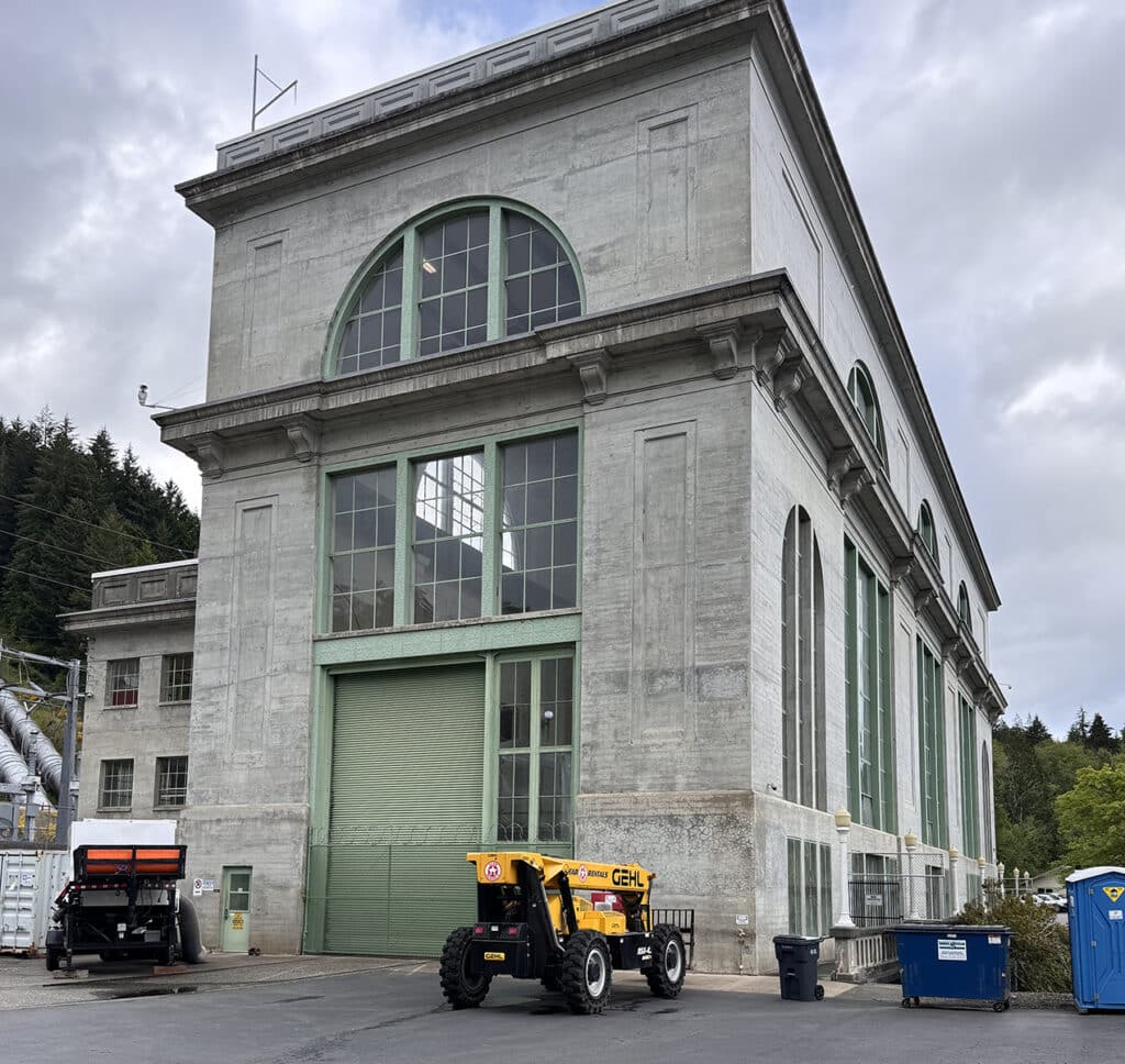
The powerhouse for Cushman Dam No. 2. Photo by Mary Williams
The powerhouse for Cushman No. 2 is on Highway 101, several miles below the dam. Electricity is carried from the powerhouse to Tacoma on a 40-mile-long transmission line. As Ed explains, a little of it stays or comes back to be used in Gig Harbor, but the vast majority makes it to Tacoma and other parts unknown.
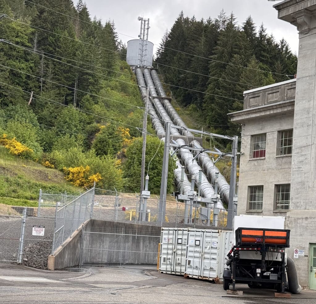
Photo by Mary Williams
Construction of the Tacoma Narrows transmission line was a notable engineering achievement at the time. Stretching more than a mile and a quarter between towers in Tacoma and Gig Harbor, the power lines were, at the time they were completed, the longest single span in the world.
As we leave Hoodsport traveling south on Highway 101, we’ll pass Potlatch State Park just before arriving at Skykomish. When you see the Little Dog Casino, it’s time to turn left onto SR 106 and head for home.
There are still things to do, places I’d like to tell you about, on the south end of the Canal. I’m going to save them, however, until November when we journey to what some call Christmas Town, USA, the community of Shelton.
About the Day Tripper column
Gas prices are sky high, and a night in a hotel is approaching astronomically expensive. So, for the foreseeable future, I imagine many of you are going to find yourselves taking day trips rather than the road trip vacations we’ve grown to love.
This beautiful region in which we live is ripe with opportunities to explore new places, see new things, and learn a little something at the same time. I promise to keep the longest journeys to a one-way distance of under 200 miles. Whether you want to make it an overnight trip, a weekend, or just a very long day trip, we should be able to pull it off.
I hope you’ll grant me the honor of your virtual company as we travel these roads together. Happy trails!
