Community Transportation
Point Fosdick project evokes roads of yesteryear
A part of Gig Harbor history will be buried during a road project this summer.
Pierce County contractor Miles Resources is resurfacing a 1-mile concrete section of Point Fosdick Drive with asphalt. Work extends from the 36th Street roundabout near Lighthouse Christian School, just outside of the city limits, to the Stone Drive roundabout near Anderson’s store. The $1.25 million project began May 31 and is expected to be completed by late July.
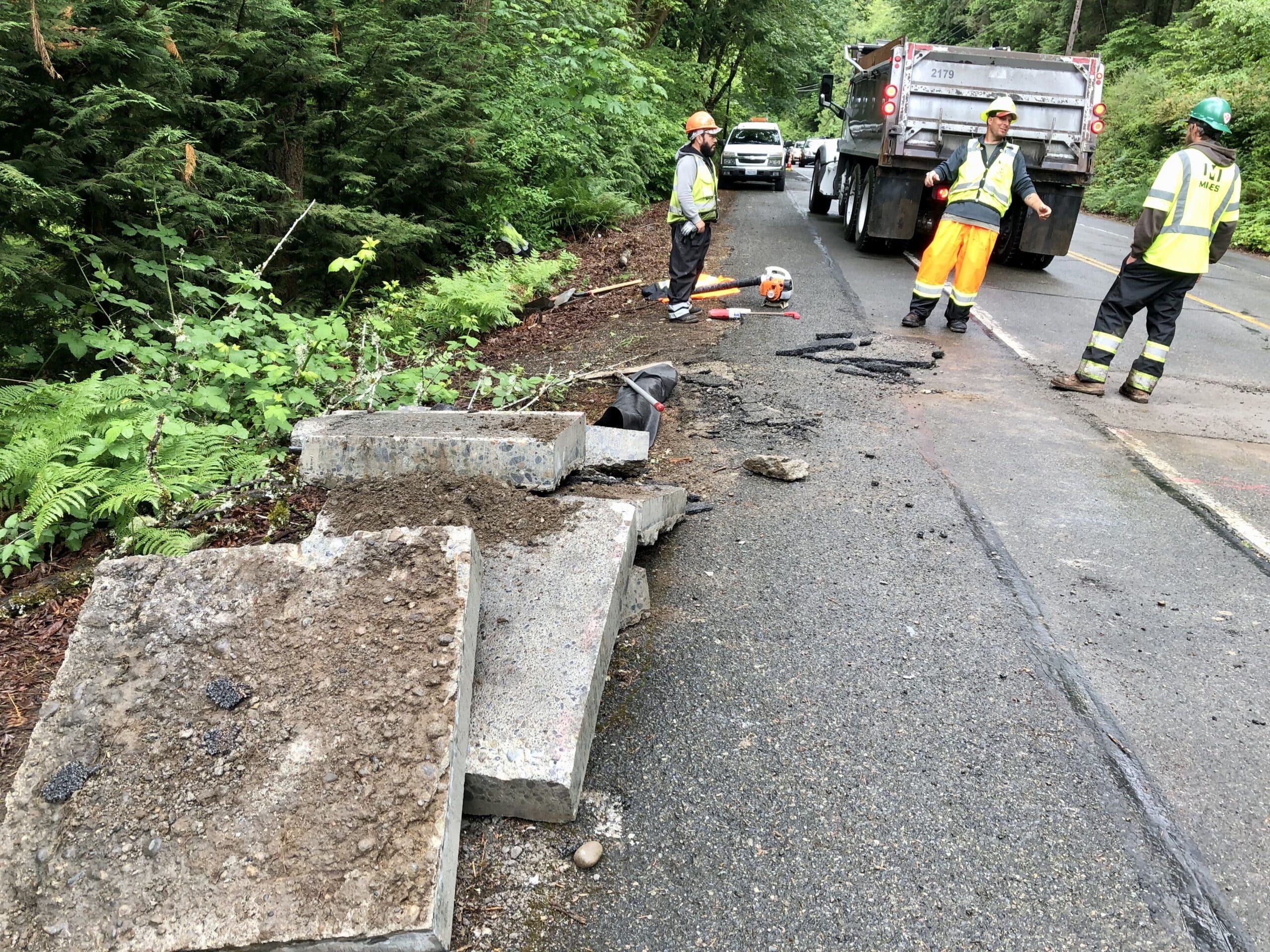
Workers from Pierce County contractor Miles Resources cut out sections of concrete from over utilities so the lines don’t get damaged when it’s cracked and seated.
Point Fosdick Drive history
Brett Sonntag, the engineering technician who manages road preservation, doesn’t believe that Pierce County has ever installed a concrete road. Point Fosdick Drive was built by the state. It was part of State Road 14 and later Primary Highway 14.
Records show that Point Fosdick Drive was first built as a gravel road in the late 1920s, Sonntag said.
It served a car ferry route that began in 1928 between Titlow Beach in Tacoma and the end of Point Fosdick. (There was a mosquito fleet dock at Berg Landing, around the west side of the point, before automobiles arrived.)
The state surfaced it in stages, with concrete between 1931 and 1936. People are driving on that same roadway today, 80-some years later.
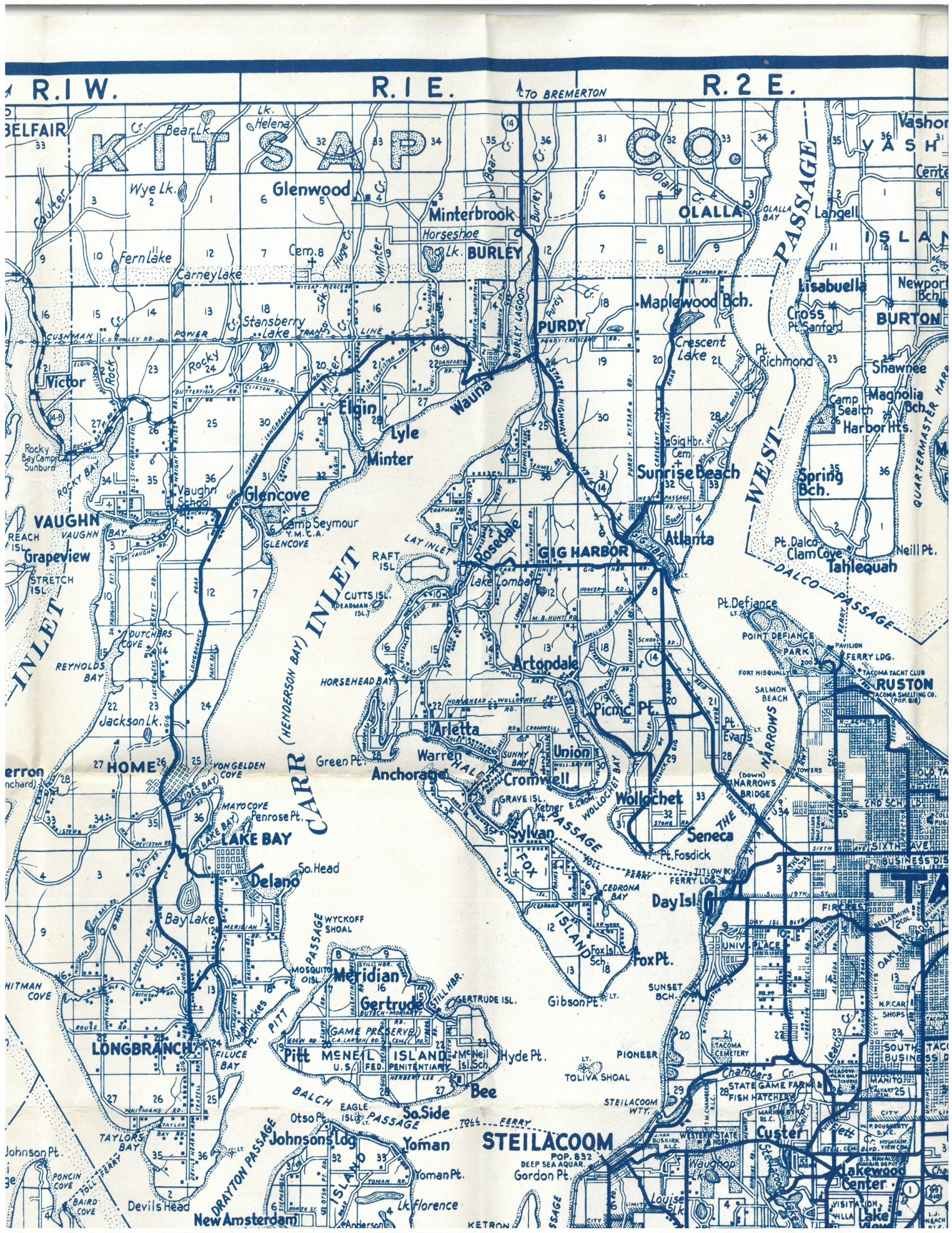
An old Metzger map shows Point Fosdick-Gig Harbor Road as part of Highway 14.
Concrete common when Point Fosdick Drive was built
Few roads were hard-surfaced at the time, and those were usually made of long-lasting and load-bearing concrete. Asphalt wasn’t common.
“Typically the roads that were put in concrete were old state roads and highways,” said Andrew Davis, construction engineering supervisor for the county.
State Road 14 originally traveled from Gig Harbor to Gorst and on to Shelton. Locally, it was a fairly straight shot from the ferry via Point Fosdick-Gig Harbor Road and the current Soundview Drive (then called Wickersham Road) to Gig Harbor. The route continued through town on Harborview (then Front Street), out Burnham Drive to Purdy and into Kitsap County, said Harbor History Museum Director Stephanie Lile.
It was redesignated in 1937 as Primary State Highway 14, and added a spur — Secondary State Highway 14C — that ran from Gig Harbor to the Tacoma Narrows where the first bridge was being built. The spur intersected at what is now Olympic Village, an area then called Hollytown, Lile said.
Collapse sends traffic back to Point Fosdick Drive
Most traffic shifted to the spur when the bridge opened on July 1, 1940. That lasted all of six months before Galloping Gertie collapsed in a windstorm on Nov. 7 and traffic was diverted back to the Point Fosdick ferry dock. The dock was in the middle of dismantling and had to be rebuilt, during which time travelers took the other ferry that landed at the mouth of Gig Harbor, Lile said.
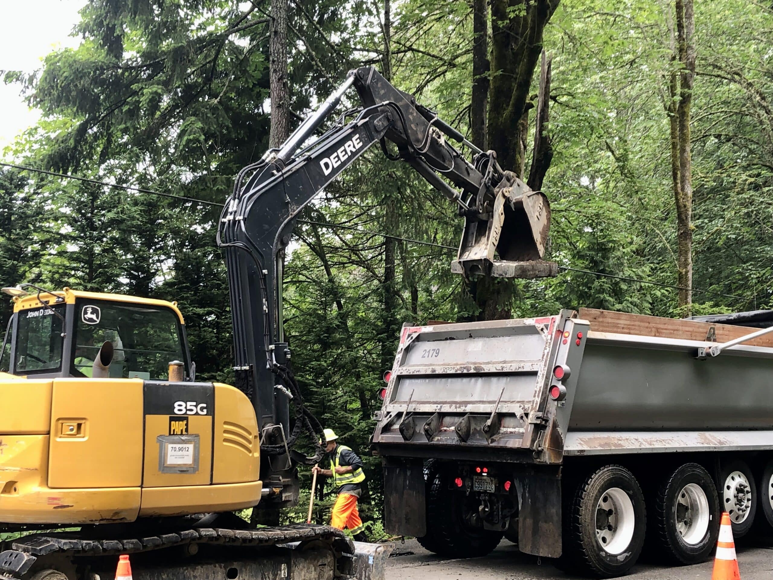
An excavator loads a cut-up piece of concrete roadway into a dump truck.
The second Narrows Bridge opened on Oct. 14, 1950, together with what today is Highway 16, though it remained Highway 14 until a new statewide renumbering in 1964.
The current resurfacing of the section of Point Fosdick Drive doesn’t end the area’s concrete era. Sections north of the project to about the library and south of it to the point retain the original surface.
Also, parts of old Highway 14 within the city limits that are now Soundview and Harborview drives have avoided replacement, said Public Works Director Jeff Langhelm. Going even further back, Langhelm said city crews sometimes while excavating discover thick slabs of trees that were placed on the mud to form the original road.
Lile said some half-sawn logs that the city dug up while working at Skansie Park are at the museum.
Crack-and-seat method
Contractor Miles Resources will use a crack-and-seat method on the concrete within the project, where about 3,000 vehicles travel each day. One machine will drop a large, flat hammer on the surface to break it up, followed by another machine with smaller, rotating hammers, Sonntag said. Then the pieces will be seated.
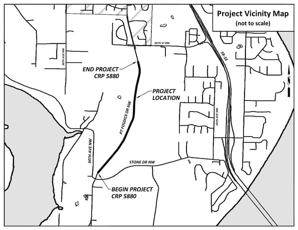
The project extends from about Stone Drive to 36th Street.
“Seating is pretty much pushing on it real hard. Seating it into the underlying soil so it becomes a firm, unyielding base,” Sonntag said. “We’re not concerned with the panels being even anymore, we just want them to be solid.”
Workers have already cut and removed concrete over utility lines to prevent them from being damaged by the pounding. A thin layer of asphalt will be laid to level the grade, followed by a final coat. Crews will also install several guardrails.
The two-lane road will be reduced to one lane at times with alternating traffic directed by flaggers. A pilot car will lead drivers through the area during certain work phases. General work hours are 7 a.m. to 3:30 p.m.
The new surface might not last 80 years, but it will be much less expensive, smooth and quiet.